Overview
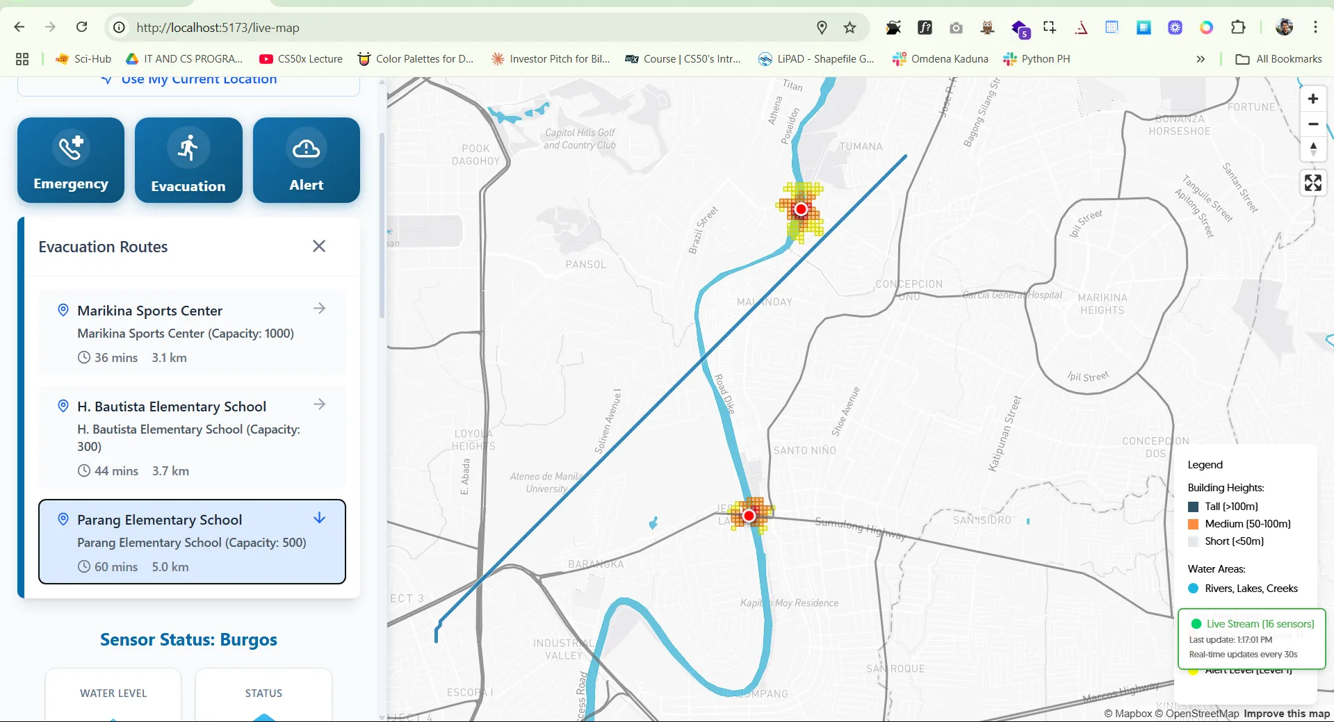
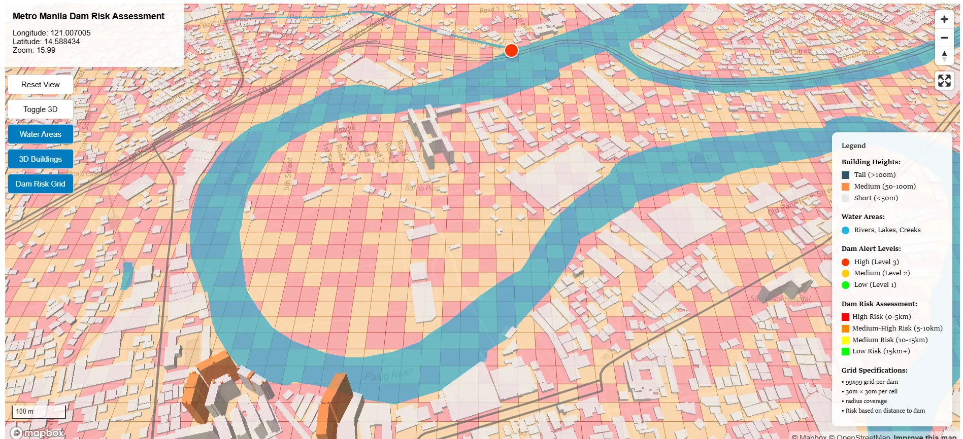
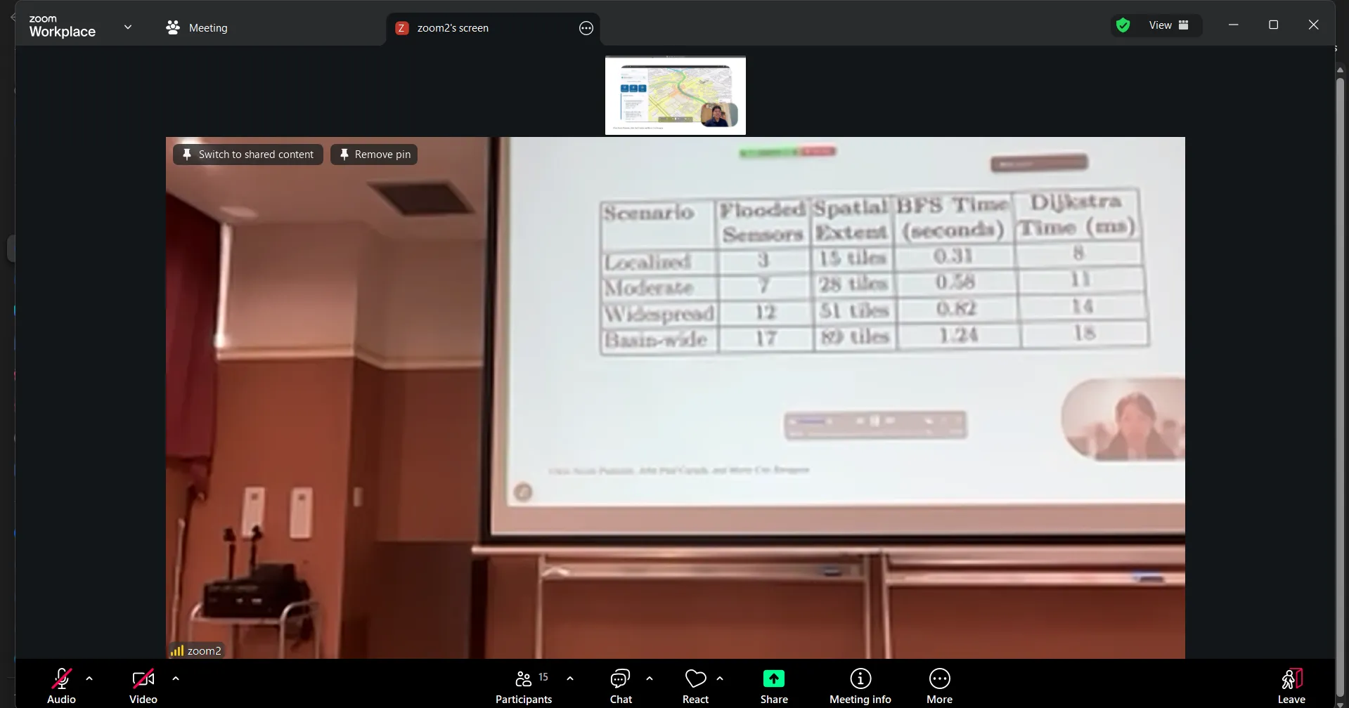
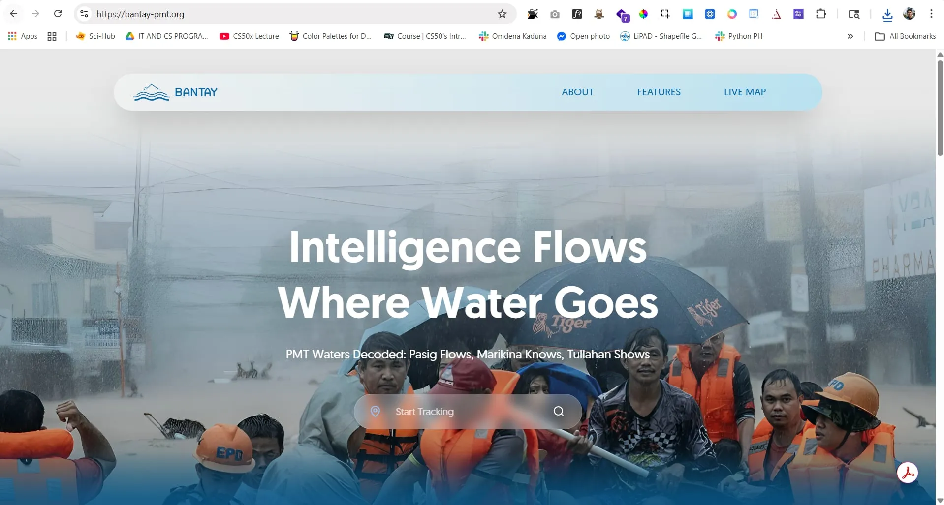
Typhoons hit Metro Manila hard and often. The problem isn't just the floods — it's that people don't get actionable information fast enough to evacuate safely. Project Bantay addresses that by turning government sensor data into real-time flood predictions and optimized evacuation routes. Under the hood, it uses adapted BFS for flood spread prediction at O(V + E) complexity and Dijkstra's for evacuation routing at O((V + E) log V) — both fast enough to process across the Pasig-Marikina-Tullahan Basin in under a second. The system pulls from PAGASA sensor APIs every 30 seconds and surfaces results through a React frontend backed by a FastAPI server. Everything is containerized via Docker, managed through Amazon ECR, and runs on an AWS EC2 nano instance to keep costs low. Published in the WCTP 2025 international conference proceedings. Live at https://bantay-pmt.org/.
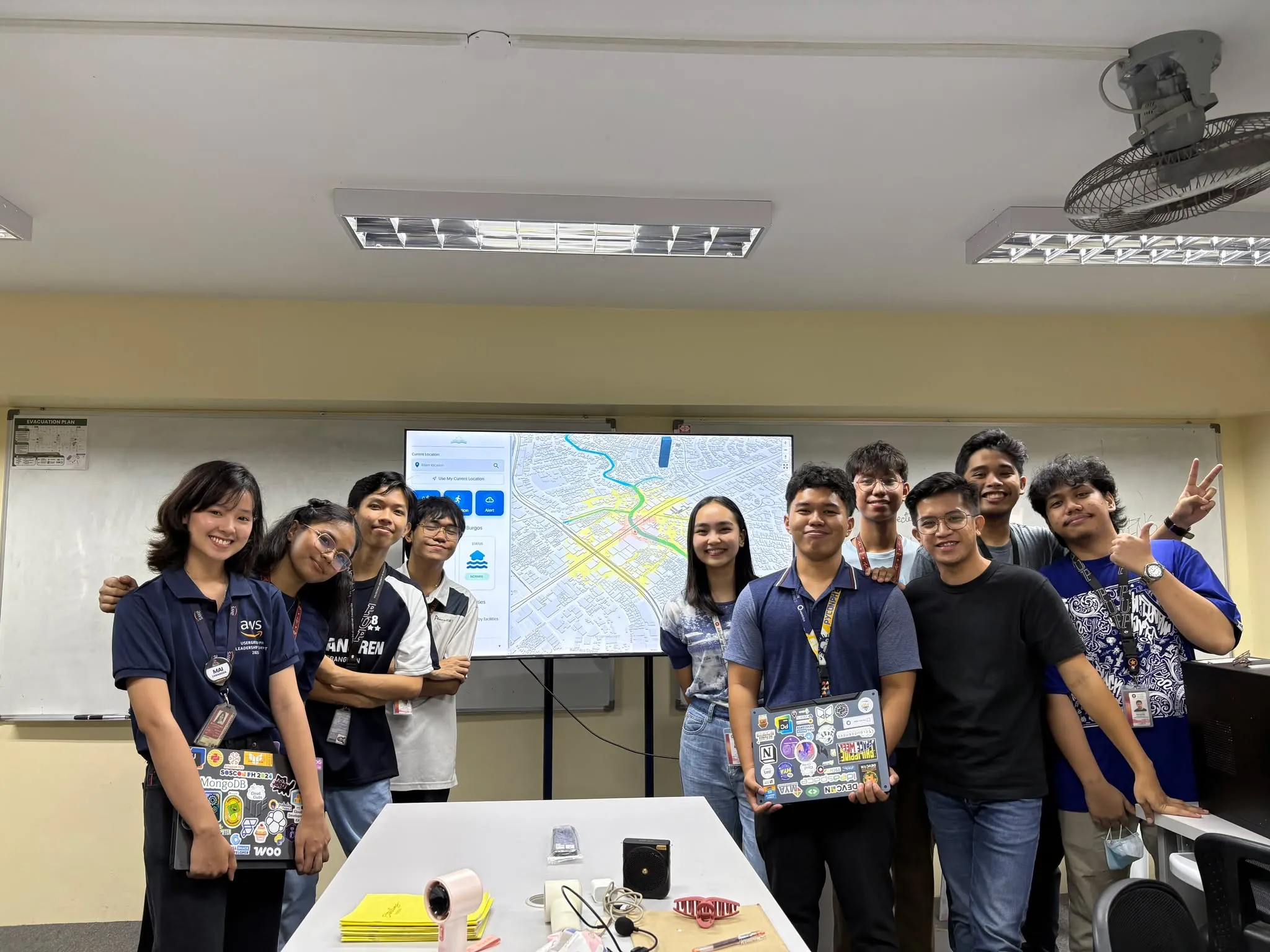
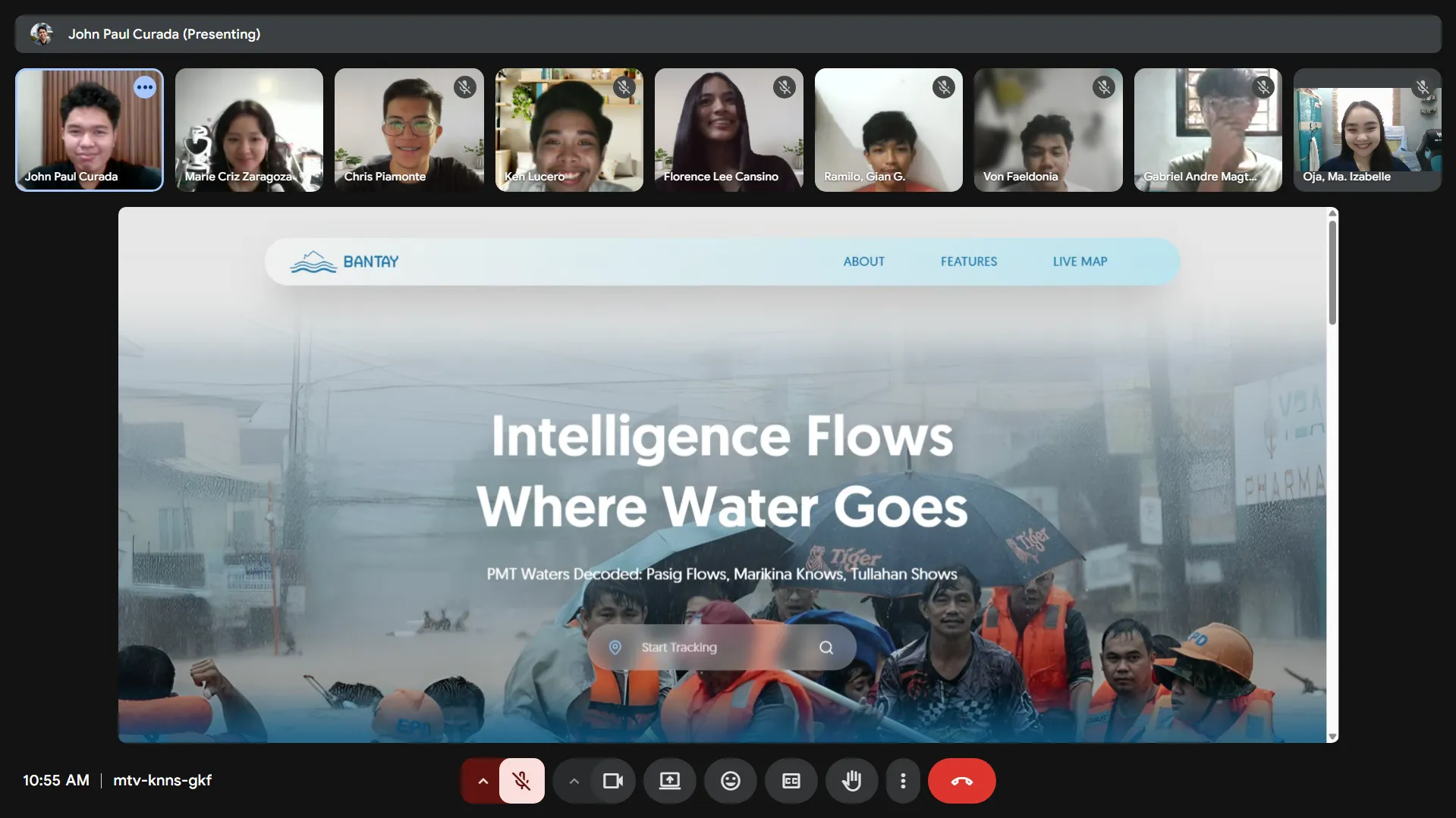
Gallery